Chicken water research site in Welzow-Süd: BTU and LEAG extend utilisation agreement by a further five years
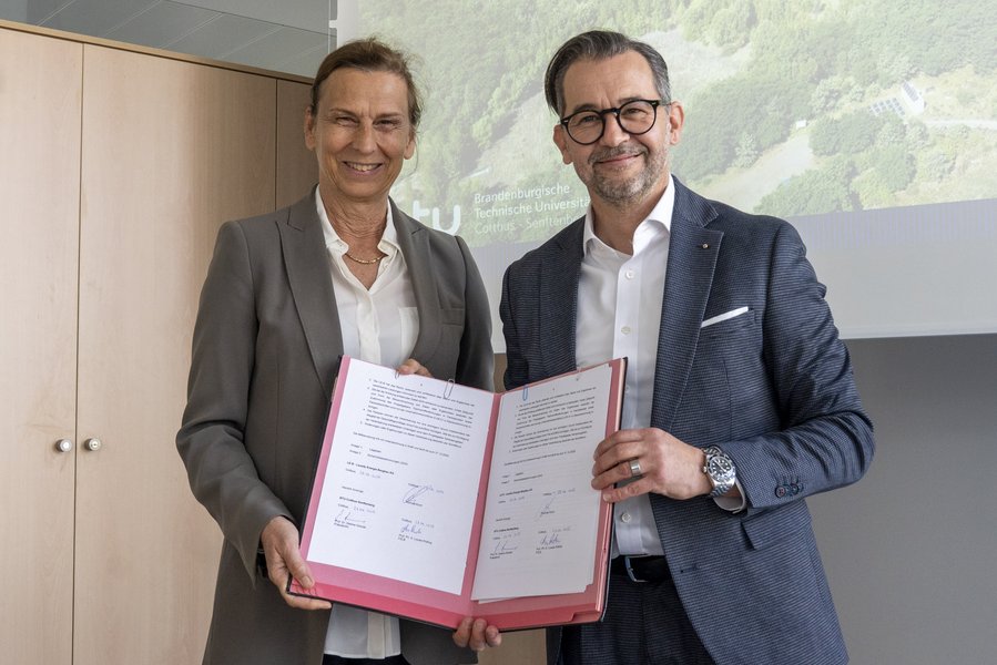
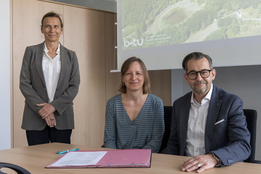
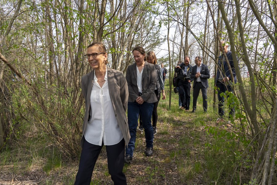
From the very beginning, the research project in the source area of the former Hühnerwasser stream was intended for the long term. Now the quarter of a century has been secured. BTU President Prof. Dr Gesine Grande and Dr Thomas Koch, Head of Geotechnical Engineering at LEAG, signed the extension of the utilisation agreement until 2030.
BTU President Prof. Gesine Grande says: "It is impressive how the "Hühnerwasser" catchment area in the recultivation area of an open-cast lignite mine has developed again on its own. Thanks to the cooperation with LEAG, our researchers have a unique opportunity to accompany various ecosystem processes and newly emerging structures in a long-term study with comprehensive ecological monitoring, which has produced a treasure trove of data that is recognised worldwide."
"Creating a safe, diverse and sustainable post-mining landscape is as much a part of mining as the extraction of coal,"says Dr Thomas Koch. "As a rule, the soil is developed relatively quickly by mining, recultivation and the agricultural companies that support us - through liming, melioration and cultivation with precisely coordinated crop rotations. The aim is to bring land into use as quickly as possible. The cooperation with the BTU here at Hühnerwasser offers us the opportunity to observe how ecosystems develop over a long period of time on an area that has been without direct human influence from the outset. The knowledge gained from this can help to bring even more ecological diversity to the post-mining landscape in the future."
Globally unique experiment to research the development of ecosystems
Dr Werner Gerwin, coordinator of the "Hühnerwasser research platform", provided information about the six-hectare area during the signing ceremony.
It was created in 2005 as part of the recultivation of the Welzow-Süd open-cast lignite mine. In order to collect precipitation water, LEAG excavated a layer of clay underground and covered it with sand. The area was then levelled, but not fertilised or planted, and left to the university as a research area. This was the start of a globally unique scientific experiment to research the development of ecosystems.
After construction, the research area was left to its own devices
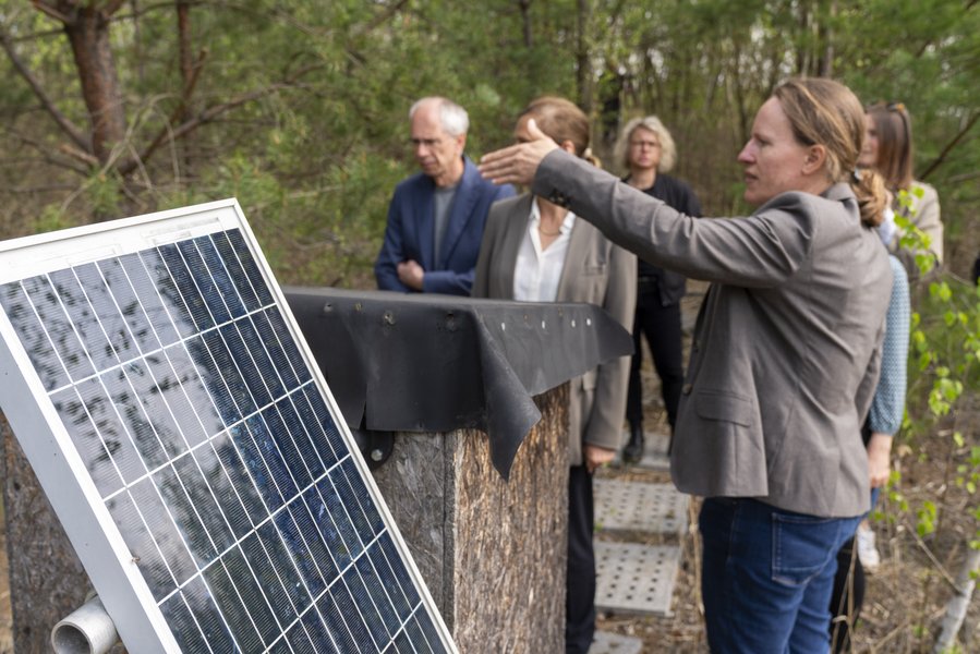
Since 2005, scientists from BTU and other national and international research institutions have been investigating the various processes and newly emerging structures in the artificially created area, which was left to its own devices after construction. An extensive ecological monitoring network was set up so that the natural development could be permanently monitored without human intervention.
This includes more than 40 wells and two weirs that record groundwater levels, water and element flows. In addition, three weather stations monitor meteorological parameters. Plant colonisation is recorded by vegetation monitoring and aerial photographs. A pond that has developed over time provides insights into the formation of young bodies of water as well as the interaction between terrestrial and aquatic subsystems.
Further research on transformative landscape development and climate change
Although the initial character of the Systems is no longer predominant, the comprehensive monitoring data offers a wide range of opportunities for further research, for example in the areas of transformative landscape development and climate change. These can now be pursued thanks to the contract extension. It is conceivable that invasive methods could be used, for example by removing individual plants or trees to see how the ecosystem reacts.
Contact
Thoralf Schirmer, LEAG, Press Officer,
Phone 0355 2887 3067, thoralf.schirmer@leag.de
Contact us
Forschungszentrum Landschaftsentwicklung und Bergbaulandschaften (FZLB)
T +49 (0) 355 69-4239
badorreck(at)b-tu.de
Press contact