Groundwater Salinization and Detection of Saltwater Migration Pathways
The research activities in Brandenburg mostly focus on the detection of the fresh water/ saltwater boundary and the determination of the migration pathways of saltwater into the fresh water reservoirs. During this works the team of the chair developed a new method which we called ERTEM. It is a combination of ERT and EM techniques and allows us to determine beside the pathways of saline water also their salt concentration. The research in this field started with the Brine project. The Brine project focused on understanding how saline groundwater moves through the subsurface and how salinization processes may affect freshwater resources in eastern Brandenburg, Germany. The work was carried out in the context of potential underground CO₂ storage, where pressure changes in deep geological formations could enhance the upward migration of brine and pose a risk to shallow aquifers.
The geological setting of the region is characterized by layers of sand, silt, lignite and glacial till. A key element is the Lower Oligocene Rupelian clay, which normally acts as a natural barrier between saline and freshwater aquifers. However, this barrier is not continuous everywhere. Quaternary glacial processes have locally thinned or completely eroded the clay, particularly along palaeochannels and fault zones. These structural weaknesses are considered potential pathways for saline groundwater to migrate upward, especially under changing subsurface pressure conditions.
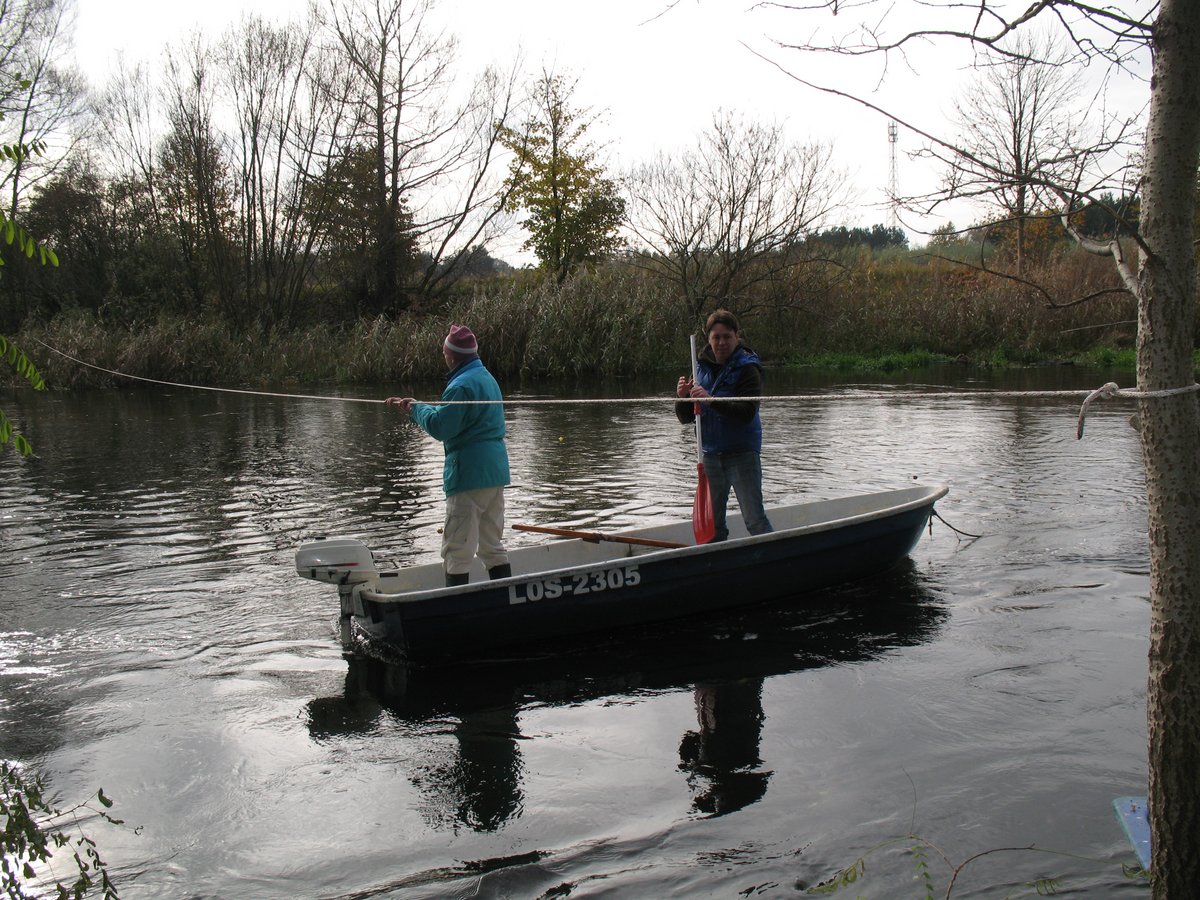
Against this background, the Brine project aimed to identify saltwater-influenced zones and to better constrain the position of the freshwater–saltwater boundary. Particular attention was given to detecting preferential vertical migration zones associated with geological structures such as faults and erosion channels. To address these questions, a multi-scale geophysical approach was applied, combining complementary methods with different depths of investigation and resolution.
Magnetotelluric and controlled-source magnetotelluric measurements were used to image deeper conductivity structures at a regional scale, while frequency-domain electromagnetic surveys provided sub-regional coverage down to depths of roughly 200 meters. For the near-surface, electrical resistivity tomography delivered high-resolution images of the upper 80 to 90 meters. The integration of these methods allowed the subsurface to be investigated consistently across scales and enabled cross-validation between independent datasets.
Field surveys were concentrated in the area of the saline uplift of Beeskow-Birkholz, a potential injection site for CO2, where hydrochemical data had already indicated elevated groundwater conductivity. The geophysical profiles revealed pronounced low-resistivity zones and high-conductivity anomalies that can be associated with saltwater-influenced groundwater. In several locations, these anomalies coincide with known Quaternary channels and suspected fault zones, supporting the interpretation of preferential vertical brine migration. The strong agreement between electromagnetic and resistivity results increased confidence in the interpretation and the spatial extent of the identified zones.
Beyond the site-specific findings, the project demonstrated the value of combining geoelectric and electromagnetic methods for monitoring salinization processes in sensitive hydrogeological settings. Based on the results, a conceptual framework for a geophysical early warning system was developed, integrating MT, EM and ERT measurements to detect changes in the freshwater–saltwater boundary at an early stage. Such an approach can contribute to long-term groundwater protection and informed decision-making in regions where industrial activities interact with vulnerable subsurface systems.
The Brine project was carried out as a collaboration between Brandenburg University of Technology Cottbus–Senftenberg (BTU) and GFZ Potsdam. It was funded by the German Federal Ministry of Education and Research (BMBF) within the GEOTECHNOLOGIEN research program.
Several further projects concerning the detection of saltwater migration pathways into freshwater aquifers in different regions of Brandenburg have been conducted with the Landesamt für Bergbau, Geologie und Rohstoffe (LBGR).