Geophysical Investigations Using Electrical Resistivity Tomography and Ground-Penetrating Radar at the Ada Tepe Prehistoric Gold Mine
The project carried out at the Ada Tepe prehistoric gold mine, located in the Eastern Rhodope Mountains of Bulgaria, aimed to support ongoing archaeological research through non-invasive geophysical investigations focused on the detection of underground mining structures.
Ada Tepe represents one of the most important examples of Bronze Age gold mining in southeastern Europe. While a partially excavated mining gallery and surface dump deposits were already known, the presence of additional underground chambers and galleries was assumed. Because archaeological excavations can only be conducted at selected locations, geophysical methods were applied to systematically explore the subsurface while minimizing disturbance to the site.
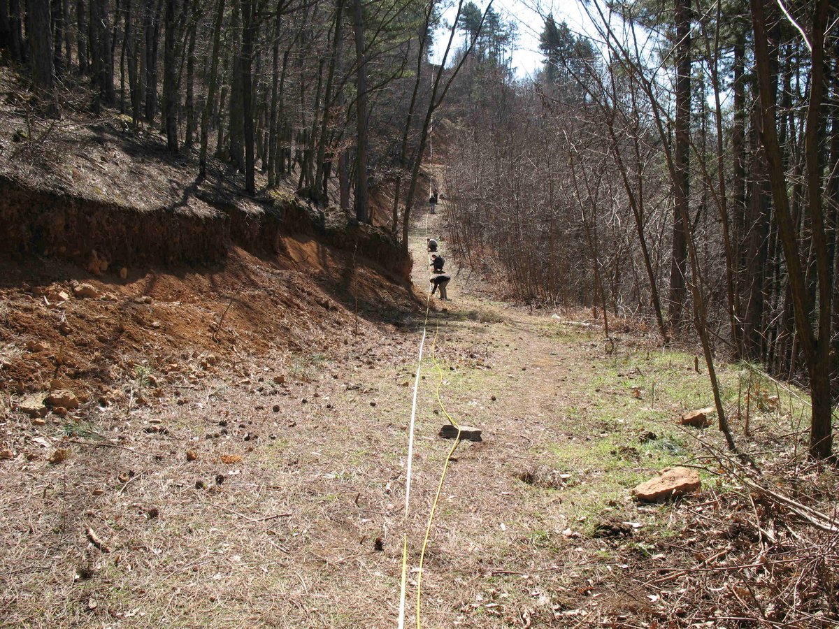
The investigations combined 2D electrical resistivity tomography (ERT) and ground-penetrating radar (GPR) along multiple profiles on both the eastern and western slopes of the hill. Electrical resistivity tomography was used to identify resistivity contrasts related to compact rock, dump material, and potential air-filled or partially filled cavities, while ground-penetrating radar provided high-resolution imaging of near-surface structures and internal discontinuities within the rock mass.
The results revealed a clear differentiation between strongly silicified zones, unmined rock pillars, and areas dominated by unconsolidated material or mining dumps. On the western slope, both methods consistently identified two potential cavities located close to the already known gallery, making them promising targets for future archaeological excavation. On the eastern slope, electrical resistivity data indicated a deeper anomaly compatible with a possible mining chamber, although local ground conditions limited the effectiveness of ground-penetrating radar at that depth.
Beyond the identification of individual cavities, the project provided an integrated view of the internal structure of the Ada Tepe hill, contributing to the interpretation of prehistoric mining strategies, the spatial distribution of pillars and dump zones, and the relationship between lithology, silicification, and extraction techniques. The study highlights the value of integrated geophysical methods as a key tool in archaeological research in complex mining environments, enabling targeted excavations and reducing direct intervention in sensitive heritage areas.