Projects
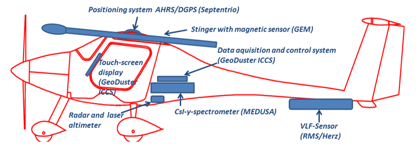
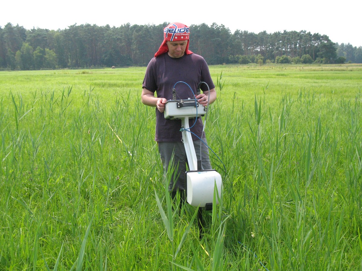
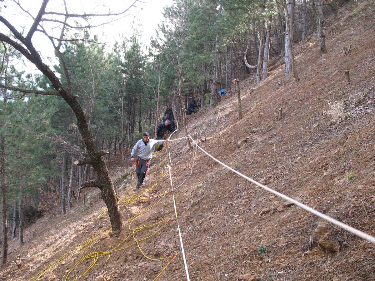
The projects presented below cover geophysical studies applied to natural resource exploration, subsurface characterization, and geoarchaeological research in a variety of geological and environmental settings. A range of ground-based and airborne geophysical methods is employed, including magnetics, radiometrics, electrical resistivity tomography (ERT), induced polarization (IP), electromagnetics, and ground-penetrating radar (GPR), combined with geological, microscopical, topographic, and geospatial data.
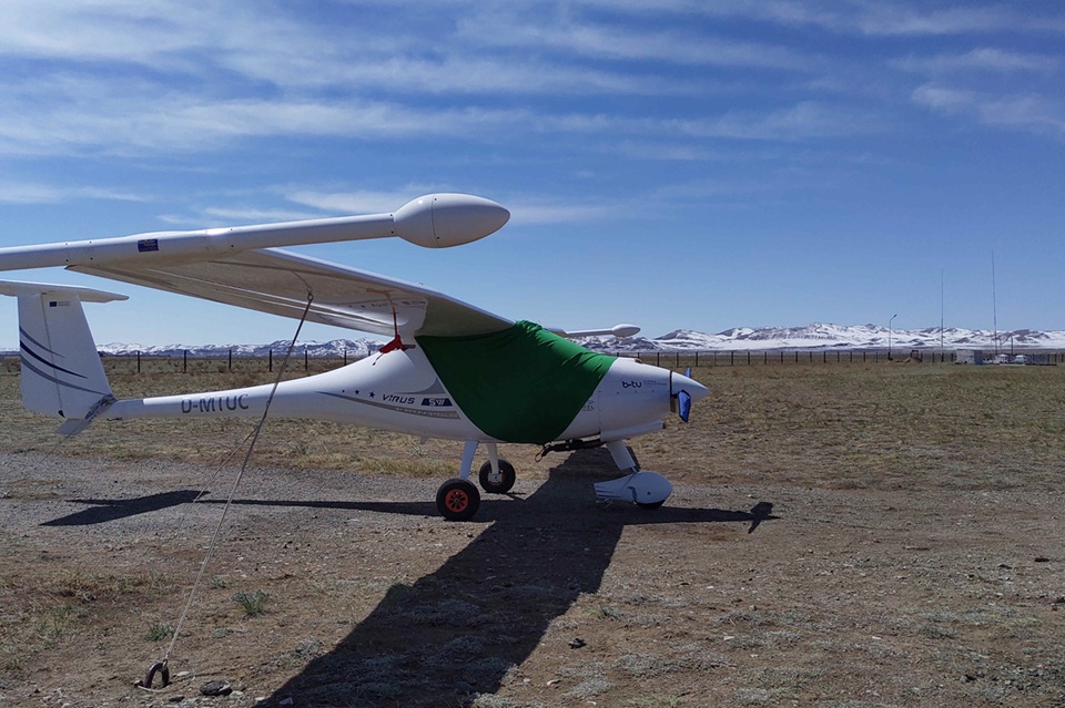
Particular emphasis is placed on integrated survey approaches and on the use of lightweight airborne platforms, which enable efficient, high-resolution data acquisition and provide valuable flexibility when working in large, remote, or logistically challenging areas.
Current Projects
Completed Projects