Mining Archeological Investigation and Groundwater Exploration with Electrical Resistivity Tomography in a Saline Environment
The research work in Iran has two foci, groundwater exploration and mining archaeological investigations (detection of ancient mining structures in the former salt mine Douzlākh). Both projects were conducted in northwestern Iran, in the vicinity of the Douzlākh salt structure near the village of Hamzehlu. The first project addresses groundwater exploration in a geologically complex and saline environment. The study was carried out within an international cooperation framework focused on improving local water supply conditions in a rural region affected by limited freshwater availability and widespread salt-bearing sediments.
The geological setting of the area is dominated by evaporitic formations, including rock salt and gypsum, which exert a strong influence on groundwater occurrence and water quality. These conditions pose significant challenges for hydrogeological investigations, as saline pore waters strongly affect geophysical responses and restrict the use of conventional exploration approaches. Against this background, geophysical investigations were conducted to identify potential aquifers and to support informed decision-making for sustainable water management.
The core of the project was a field campaign conducted by the Chair of Raw Materials and Natural Resource Management at BTU Cottbus–Senftenberg. Electrical Resistivity Tomography (ERT) was applied as the primary investigation method, complemented by Induced Polarization (IP) measurements. A series of geophysical profiles were acquired in the surroundings of the Douzlākh structure, targeting river valleys, sedimentary deposits, recharge zones, existing wells, and selected locations of archaeological relevance. Particular attention was given to the interpretation of resistivity data under saline conditions, where dissolved salts significantly reduce resistivity values compared to freshwater environments.
The investigations enabled the identification of several subsurface zones with favorable hydrogeological characteristics. Coarse-grained sedimentary layers, especially within main river valleys, were recognized as the most promising targets for groundwater extraction. The geophysical results showed good consistency with existing borehole information and hydrochemical data, confirming both the presence of aquifers and the limitations imposed by high salinity. The study further highlighted the necessity of desalination measures for any long-term use of groundwater resources in the region.
Overall, the project demonstrates the effectiveness of Electrical Resistivity Tomography for groundwater exploration in salt-affected environments and illustrates the contribution of applied geophysics to water resource assessment in arid and semi-arid regions characterized by evaporitic geology.
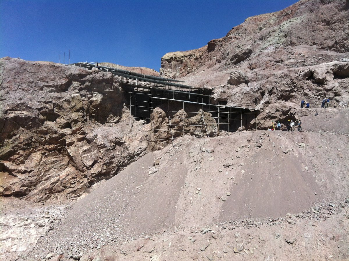
The second project aimed to detect ancient mining structures within the salt mine Douzlākh. Background was the excavation of very well-preserved human bodies (ancient miners) worldwide known as ‘Saltmen of Iran’ from the Douzlākh salt structure. The topic was to investigate the salt structure for further collapsed areas with the potential to find additional buried people.